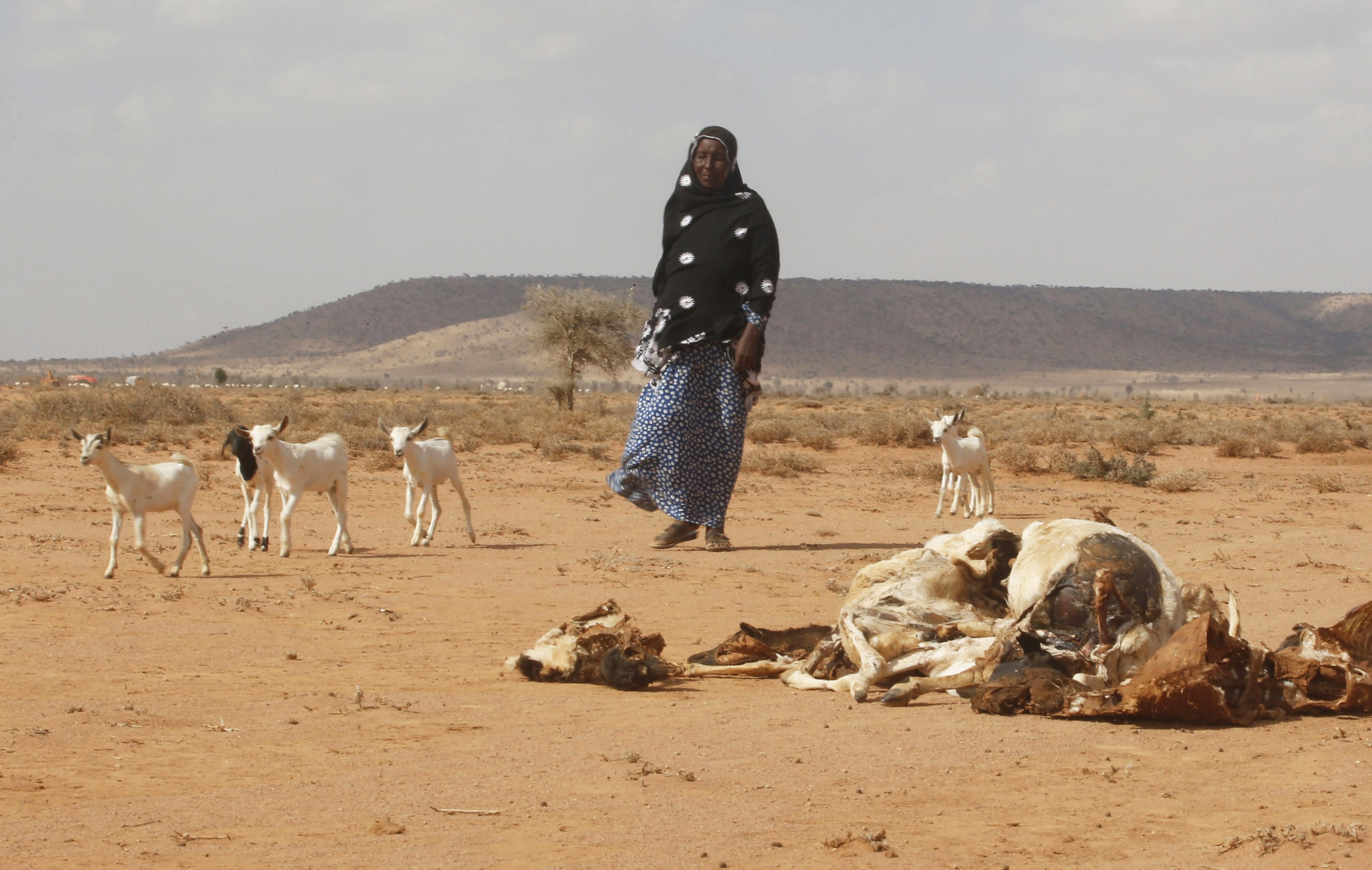
Climate models from around the world warn of the possibility of this phenomenon El Nino At the end of the year – the kind of warming in parts of the Pacific that, the Guardian explains, could add to the catastrophe weather Phenomena around the world during the year.
In fact, as reported by a British newspaper, some models increase the chances that this phenomenon will take on extreme characteristics in the last months of the year, calling it a “super El Niño”. Such a scenario translates to very high temperatures in the central Pacific region around the equator.
The last time the planet experienced an extreme El Niño was in 2016Global temperature has broken all records, with the contribution of anthropogenic climate change. The result was floods, droughts, and epidemics.
Risks and precautions
Australia’s National Meteorological Service said on Tuesday that all seven models it reviewed, including those from Britain, Japan and the United States, showed sea surface temperatures would reach altitudes consistent with El Niño into August.
But both the agency and climatologists warn that forecasts during the southern hemisphere autumn are not reliable and should be “handled with some caution”.
In any case, the agency concluded that there is a 50% chance of an El Niño by the end of the year.
What does an extreme El Niño look like?
A feature of this phenomenon is that the sea surface temperature is at least 0.8 °C higher than the long-term mean in the central Pacific region at equator elevation. Extreme El Niño events translate into a 2°C increase in regional temperatures.
Several projections suggest temperatures could reach those heights by October, again urging scientists to read cautiously on their early conclusions.
“It’s time for the next one.”
doctor. Mike McFadden, a researcher with the US National Oceanic and Atmospheric Administration, told the Guardian that historically El Niño events occur about every four years.
“It’s time for the next one. However, predictions of El Niño intensity show significant variations from massive to weak.”
He explained that strong El Niño events tend to happen every 10 to 15 years, so it would be “very unusual” for the planet to see it again after the strong events of 2015 and 2016.
“However, nature surprises us when we think we know everything,” he added.
“We have to be ready.”
Really big El Niño events affect the entire planet with severe droughts, floods, heat waves and storms. If that happens, we must be prepared. However, it can also weaken. We must be careful and prepared for all possibilities.”
“At this time of year the forecast is dire, but we’re seeing international climate models agree with their predictions of a warming El Niño,” Catherine Gunter, a climate scientist at the agency, told the British newspaper.
The agency also monitors temperatures developing in the Indian Ocean, where there is a “slightly increased risk” of developing conditions that tend to cause drier conditions in the southeastern and central parts of Australia, increasing the impact of El Niño.
As the scientist has shown, in the case of Australia, the intensity of El Niño does not necessarily match the intensity of its effects. But, he added, “during El Niño, we usually see less rainfall in eastern Australia during the winter and spring, but we also see warmer temperatures in the southernmost two-thirds of the country.”
He added that these types of conditions increase the risk of fires and heat waves.
The role of climate change
Studies have shown that as global temperatures continue to rise, the chances of an extreme El Niño event also increase. In Australia, El Niño is intensifying the risk of droughts, heatwaves and wildfires in the east of the country, while also increasing the risk of mass bleaching of the Great Barrier Reef.
Worldwide, El Niño has caused record temperatures in the past and has been associated with floods and landslides in Central America and the absence or delay of the monsoon in India. The strongest El Niño recorded this century, which lasted from 2015 to 2016, has been associated with outbreaks of epidemics around the world, of diseases such as cholera or dengue fever.
When will we know for sure?
McFadden and other scientists also warn that in 2014 there were predictions of strong El Niño events that initially seemed to be disproved. But a year later, the most powerful such phenomenon in the current century has already begun, as noted by Dr. Angus Santoso, an expert on Pacific climate change at the University of New South Wales.
Since scientific predictions became more reliable in the 1950s, he said, only three extreme El Niño events have been recorded: from 1982 to 1983, from 1997 to 1998 and from 2015 to 2016. El Nino in the period 1972-1973 can also be described as extreme.
Speaking to the Guardian, Santoso noted that “the projections show that we are likely to have an El Niño, but we will have to wait a little longer to see if it will be weak or strong.”
In addition, he added that we should prepare for an extreme El Niño scenario, but by June the models will be more accurate.

“Hipster-friendly coffee fanatic. Subtly charming bacon advocate. Friend of animals everywhere.”


More Stories
F-16 crashes in Ukraine – pilot dies due to his own error
Namibia plans to kill more than 700 wild animals to feed starving population
Endurance test for EU-Turkey relations and Ankara with Greece and Cyprus